Search:
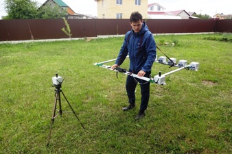
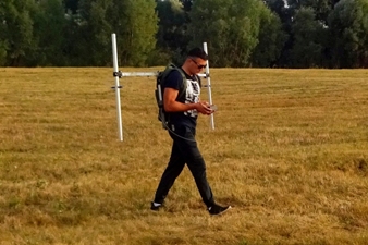
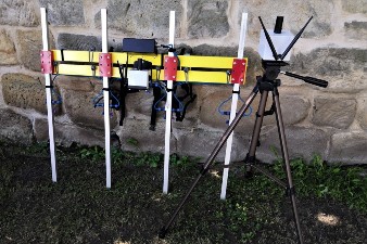
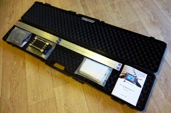
«TRITON» MULTICHANNEL MAGNETIC FIELD MEASUREMENT SYSTEM
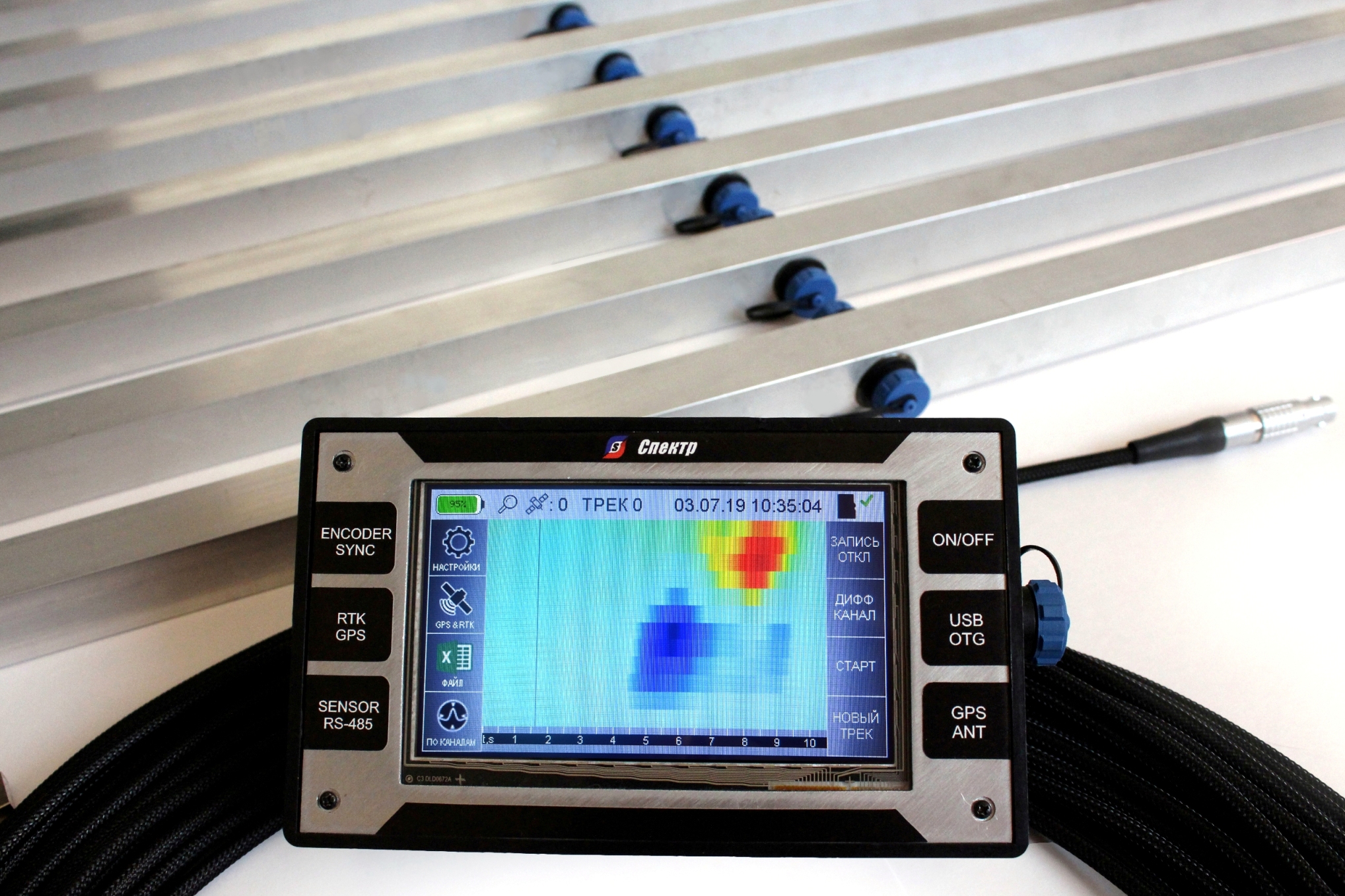
Up to 500 3-component measurements per second with up to 0.1 nT resolution
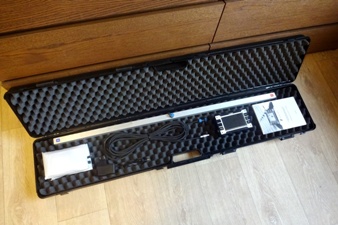
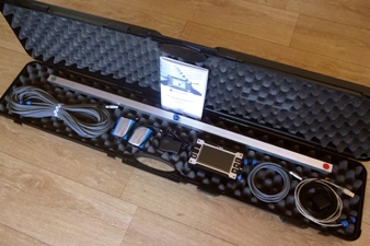


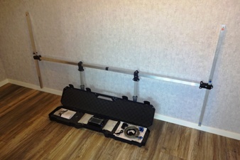
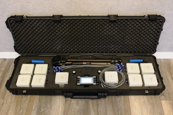
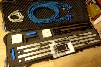
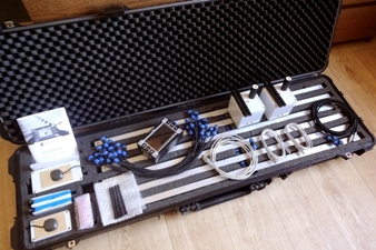




Application:
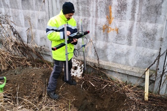
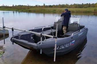
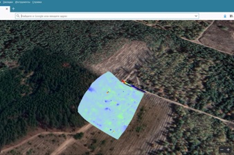
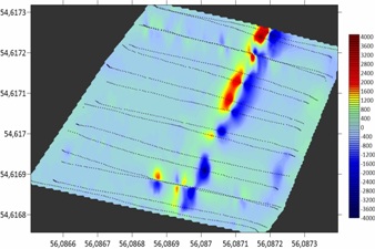
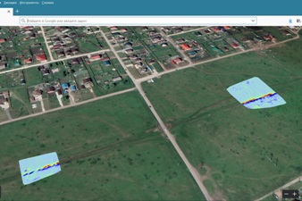
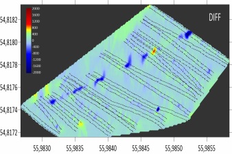
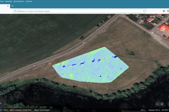
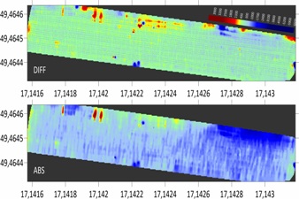
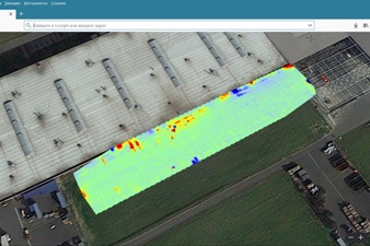
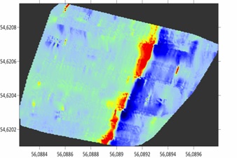
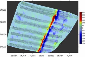
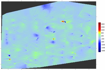
- Automated real-time survey and magnetic field mapping
of geomagnetic anomalies on the land and in the sea;
- Searching and tracing the underground communications;
- Geomagnetic field inverse problem solution;
- Multichannel geomagnetic station;
- Steel pipelines stressed state remote inspection and monitoring.
Key features:
- High resolution from 1.0 nT to 0.1 nT (optionally);
- Wide ±70 000 nT or ±180 000 nT (optionally) measurement range;
- Up to 12x 3-component sensors can be used simultaneously;
- Sensors networking at distances up to 2 km and more;
- Can be mounted on the UAV and optionally equipped by special radio channel with
up to 40 km radius of action in order to acquire data remotely from UAV mounted
sensor system to the ground placed acquisition station in real time;
- Anyone topology of magnetic field sensor can be chosen from
single fluxgate element to gradiometer or 3-component topology;
- Making possible to provide magnetic measurements down to 1 km under water;
- USB/RS-232 interface to connect custom GNSS receiver, or RTK system,
or sea radar (e.g. Trimble R8, Emlid Reach RS+, Lowrance Elite-7 Ti, etc.);
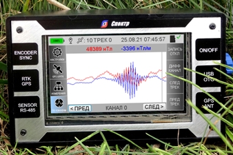
- Real-time color map, linear graph and digital indication of measurements;
- Being connected to the personal computer the Triton system works
like a standard USB flash drive, does not require any software driver;
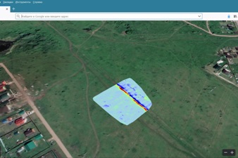
- Output data format compatible with Surfer and Google Earth.
System architecture:
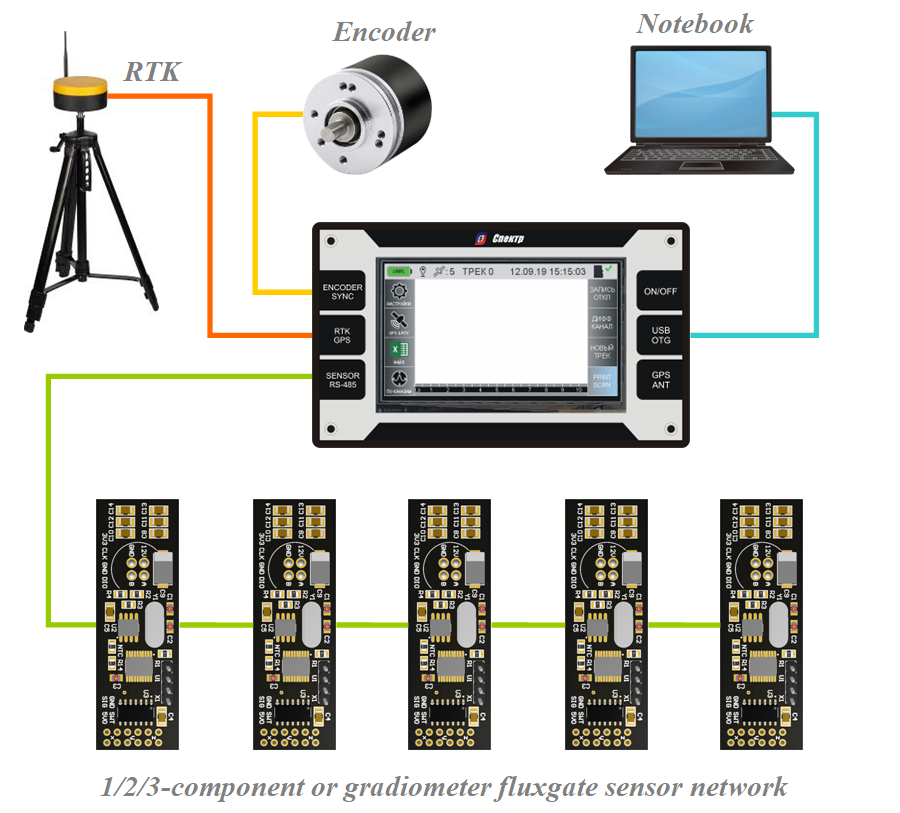
Magnetic field measurement system | |
| Magnetic field sensitive element: | fluxgate, straight |
| Magnetic field sensor topologies provided by default: | 1/2/3-component or gradiometer |
| Amount of 1/2/3-component or gradiometer magnetic field sensor maintained by system simultaneously: |
1 – 12 and more (on special request) |
| Magnetic field components measurement range, nT: | ±70000 or ±180000 |
| Magnetic field gradient components measurement range, nT/m: | ±140000 or ±360000 |
| Magnetic field sensing resolution, nT: | 1.0 or 0.1 |
| Measurement data rate setting 3-component samples per second: |
0.001 – 500 |
| Maximum length of acquisition-to-sensor cable, m (depended on customer’s requirements): |
2000 |
Coordinates measurement system | |
| Measurement synchronization sources: | built-in timer external odometer |
|
Coordinates measurement units: – built-in GNSS receiver – odometer on the base of incremental encoder – RTK system consists of receiver and base station |
standard option option |
| RTK navigation systems supported: | GPS, GLONASS, GALILEO, BEIDOU |
| RTK base station coverage radius, km: | up to 40 |
| RTK receiver connection (forg third part manufacturers): | USB/RS-232 NMEA 0183 protocol 115200bps/8/1/no parity |
|
Typical plane position measurement error, m:
– built-in receiver – RTK system |
±10 ±0,02 |
Storing and transferring data measured | |
| Capacity of memory to save data measured: | 8GB – 64GB (optional) |
| Personal computer communication: | USB port |
Mechanical specs and power supply | |
| Data acquisition unit dimensions (length × width × height, mm): |
151×90×54 |
|
Magnetic field sensors dimensions (length × width × height, mm):
– gradiometer – 3-component |
1020×60×30 120×100×90 |
| Magnetic field sensors water resistance, m: | 40 |
|
RTK system components dimensions (length × width × height, mm): – receiver – base station (without tripod) – tripod for RTK base station – tripod when folded |
120×65×55 170×85×55 1450×600×800 550×100×100 |
| Data acquisition unit weight, g: | 540 |
|
Magnetic field sensors weight, g:
– gradiometer – 3-component |
420 300 |
|
RTK system components weight, g:
– receiver – base station (without tripod) – tripod for RTK base station |
230 1300 1200 |
| Power supply source: | lithium accumulator battery 3S2P |
| Supply current from fully-charged accumulator, mA: | 800 |
| Working temperature range, °С: | –20…+70 |

«Triton» multichannel magnetic field measurement system. User manual
Size of file: 37,2 MB
«TritonGRAD» software application and sample data included
Size of file: 23,8 MB
Download Surfer Software from official website
https://www.goldensoftware.com/products/surfer
Go to Google Earth online service
https://www.google.com/earth/